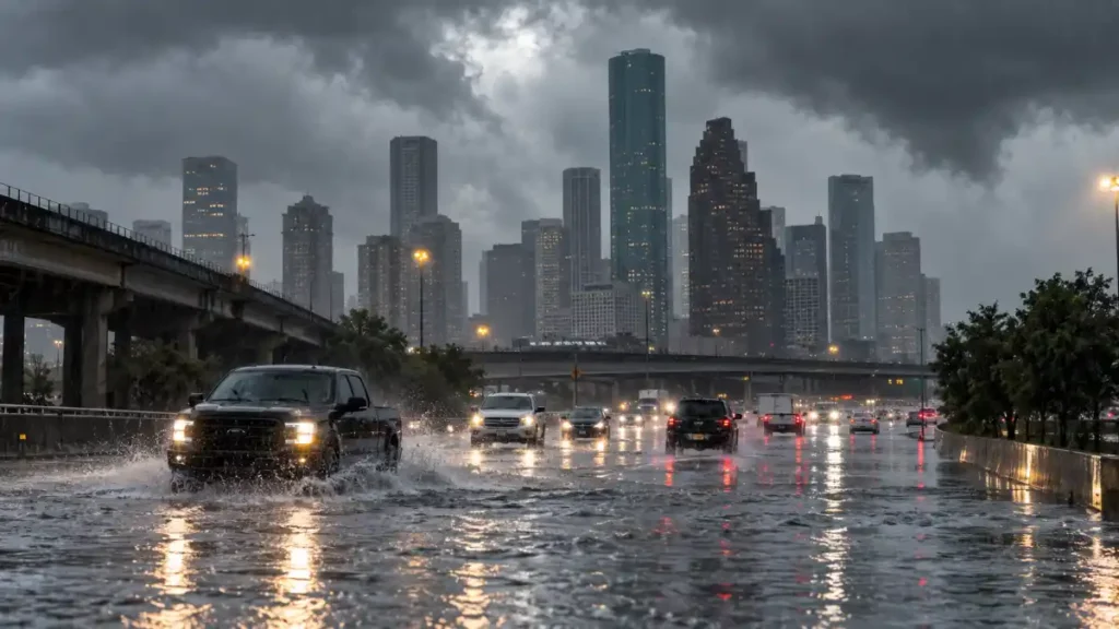
Houston and other parts of Southeast Texas are facing another stretch of unsettled weather as tropical moisture from the Gulf increases the chance of heavy downpours and isolated flooding.
This is not a hurricane or tropical storm threat. Instead, the concern comes from an atmosphere loaded with moisture, combined with daytime heating and the Gulf sea breeze. That setup can produce scattered thunderstorms capable of dropping a lot of rain over a small area in a short period.
Widespread flooding is not expected across the Houston area, but forecasters say some neighborhoods could still experience street flooding or problems in places with poor drainage if storms repeatedly move over the same locations.
Tropical Moisture Keeps Rain Chances High
Deep Gulf moisture has remained over Southeast Texas following the unsettled weather earlier this month.
That means thunderstorms do not need help from an organized tropical system to become heavy rainmakers. On a humid September day, storms can develop quickly and produce intense rainfall before weakening or moving somewhere else.
For most people, that may simply mean a sudden afternoon downpour. But where a storm slows down, the situation can look very different.
A neighborhood could receive considerably more rain than another part of the city only a few miles away. That uneven nature of tropical rainfall is one reason localized flooding can be difficult to predict far in advance.
The Weather Prediction Center has continued to highlight excessive-rainfall concerns across parts of the southern United States during this unsettled period. The risk does not suggest that every community will flood. Instead, it signals that isolated problems are possible wherever the strongest thunderstorms develop.
No Named Storm Is Needed for Flooding
The current setup is different from the weather Southeast Texas experienced earlier in September when Tropical Storm Edouard moved inland near the Texas-Louisiana region.
Edouard and its remnants produced exceptionally heavy rainfall in parts of eastern Texas, with some locations experiencing serious flash flooding.
That system has moved away, but plenty of atmospheric moisture remains.
Houston can still see heavy tropical downpours even when there is no organized storm in the Gulf. Moist air flowing inland, combined with the sea breeze and afternoon instability, is often enough to trigger thunderstorms.
That distinction is important.
A hurricane normally receives widespread attention days before it reaches the coast. A scattered thunderstorm may develop with far less notice, yet it can still temporarily overwhelm drainage if it produces enough rain over the same area.
For Houston residents, the absence of a named storm therefore does not mean the flood risk disappears completely.
Why Houston Can Flood So Quickly
Houston is particularly sensitive to short periods of intense rainfall.
The region is relatively flat, large areas are covered by roads and buildings, and numerous bayous and drainage channels carry water through the metropolitan area. When rainfall becomes intense enough, water can collect on streets faster than drainage systems can remove it.
Houston’s history has repeatedly shown how important rainfall intensity and storm movement can be.
Tropical Storm Imelda in 2019 produced extraordinary rainfall across parts of Southeast Texas. Tropical Storm Beta brought additional flooding to the Houston area in 2020, while Hurricane Nicholas in 2021 and Hurricane Beryl in 2024 also brought periods of significant rainfall to the region.
The current weather pattern is not expected to produce flooding on that scale.
Those past storms simply illustrate why Houston residents tend to pay close attention whenever tropical moisture and slow-moving thunderstorms appear in the forecast.
Localized Flooding Is the Main Concern
The biggest issue with this week’s weather is not a region-wide flood event. It is the possibility that one or two neighborhoods receive much heavier rainfall than surrounding areas.
During tropical downpours, visibility can fall quickly and water can begin collecting on roads within a short period.
Low-lying roads, underpasses and locations with poor drainage are usually among the first places where problems appear.
Drivers should be particularly careful because it can be difficult to judge the depth of water covering a roadway. A street that looks passable from a distance can be deeper than expected.
Rainfall totals will also vary considerably across the Houston region. Some communities may receive repeated thunderstorms while others see only brief showers.
What Houston Residents Should Watch Next
The unsettled pattern is expected to keep periodic showers and thunderstorms in the Houston forecast, although the timing and location of the heaviest rain will depend on where individual storms develop.
Residents should keep an eye on local weather updates before traveling during periods of heavy rain, while readers following other major developments today can also check our latest sports coverage.
Conditions can change quickly during this type of weather pattern.
For now, the message is fairly straightforward: Houston is not facing an organized tropical storm, but the combination of Gulf moisture and repeated downpours is enough to create a localized flood risk.
Most areas may get through the wet pattern without major problems. But where thunderstorms become slow-moving or repeatedly hit the same neighborhood, street flooding could develop quickly.

The SBCC Editorial Team researches, writes, and reviews news and explainers using credible sources and official information.